The Northampton Arm in England - Bridges, Locks, Features and Photos.
The Northampton Canal Arm was opened in 1815 and linked The Grand Central Canal at Gayton Junction - via the River Nene - to Peterborough and The Wash
 Situated in the English Midlands, The Northampton Arm starts (or ends) at Cotton End Wharf at Lock 17 on the southern edge of Northampton where it connects with the River Nene and then proceeds on it's fairly short 4 3/4 mile course to link
up with the Grand Union Canal at Gayton Junction. You can get onto the Northampton Canal Arm from the bridge which carries the A43 south out of Northampton - turn right on the towpath and walk the short distance up to the first of the canal's lock - Cotton End Lock no.17. Then of course being a canal the route is totally straightforward - just go back past the A43 roadbridge and
stay on the towpath all the way down to Gayton Junction. Around Cotton Lock 17 the canal is somewhat scruffy with some litter and so on lying about but once you get past the first railway bridge things improve a lot.
As is sadly the case these days the first few bridges have been painted on with ugly graffitti but again this stupidity disappears quite soon once you are a little way along. There are
some lovely old bridges to be seen and sadly two modern concrete things - the lack of any attempt at design on modern bridges especially where they have to go anywhere near our lovely canals is disgusting. The attitude seems to be let's just pour concrete over the poor canal and that will do.
Some of the missing lift bridges (or drawbridges) on the Northampton Arm are being repaired/re-instated and these look pretty good - they are fixed in their open position however.
[ Click the thumbnails for a larger picture - use the back button to return to this page. ]
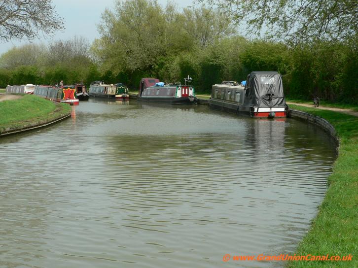
Northants Canal Arm

Cotton End Lock
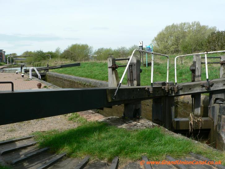
Lock 17 Cotton End

Cotton End Pipebridge

Bridge 17

Railway bridge 16

nice brickwork

Railway Bridge 15
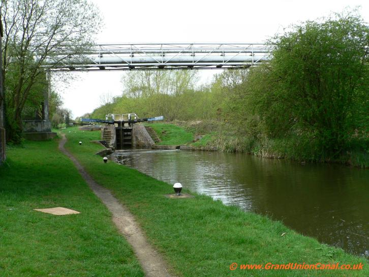
Pipe Bridge
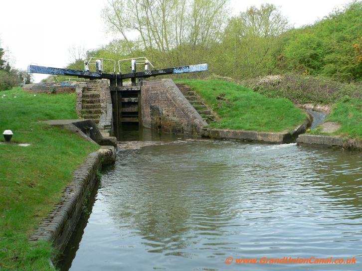
Lock 16.

Lock 16 and PipeBridge

Briar Hill Bridge 14

Briar Hill Bridge 14,.

Bridge 13 and PipeBridge
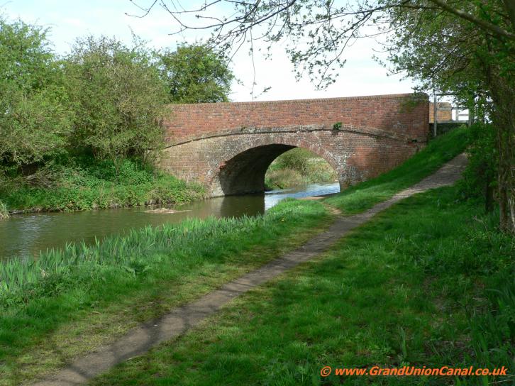
Bridge 13

Hardingstone Lock 15
The Northampton Canal Arm's towpath is in an excellent condition throughout the entire - easy to both walk and cycle on and good enough for a comfortable wander along using for instance a pushchair. There is a thriving community
of ducks (fat ducks of course) plus moorhens, coot etc. living their lives happily all along the canal's route - also lots of reeds, trees and other foliage to be enjoyed - making a walk really enjoyable. Perhaps the only real drawback is the constant traffic noise from the A34 road which accompanies the canal
Arm for quite some distance.
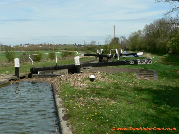
Hardingstone Lock 15

A45 Roadbridge 9b
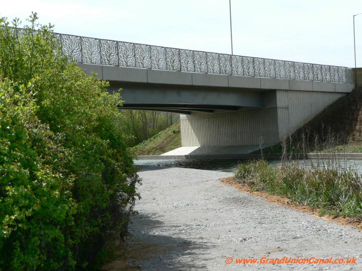
Northampton Canal Arm Bridge.
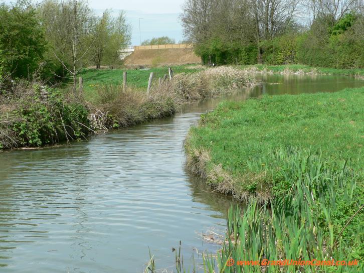
Missing Drawbridge perhaps ?
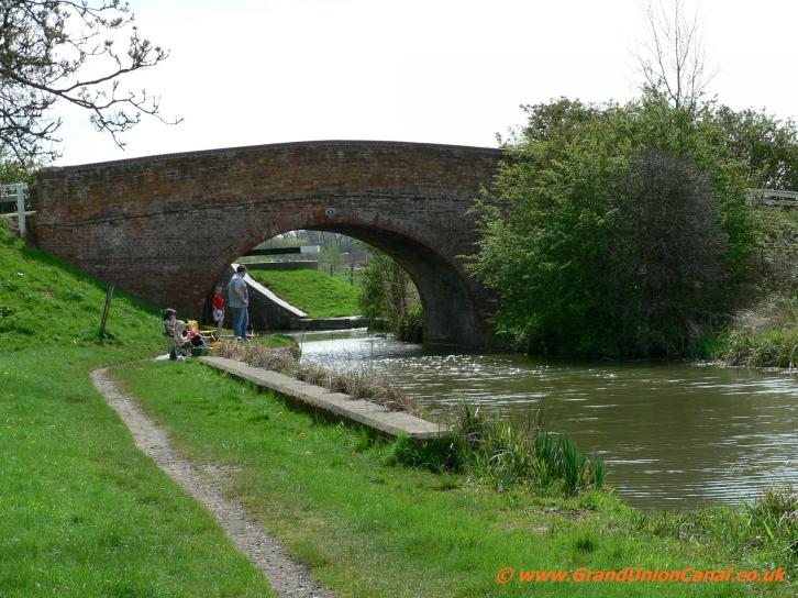
Banbury Lane Bridge 9

Banbury Lane Bridge 9.

Wootton Lock14 lock gates

Wootton Lock 14

Aqueduct

Arm Aqueduct

Arm Drawbridge 7.

Rothersthorpe Bottom Lock 13.

Rothersthorpe Bottom Lock 13

M1
sliproad Bridge

M1 roadbridge.

Rothersthorpe Lock 12

M1
sliproad

Rothersthorpe Lock 11

Lock
11

Draw
bridge 6
The maximum size for canal boats travelling on the Northampton Arm is:
Length 72 feet, Beam 7 feet, Height 7 feet 6 inches and a maximum draught of 3 feet. The canal features a flight of 17 single locks - you can see most of them from the top of the flight at Rothersthorpe Top Lock (no.1). In the summer and particularly on weekends this area is extremely popular with visitors on holiday in England as well as locals - you can see Rothersthorpe Locks in a much more peaceful way during weekdays of course.
Length 72 feet, Beam 7 feet, Height 7 feet 6 inches and a maximum draught of 3 feet. The canal features a flight of 17 single locks - you can see most of them from the top of the flight at Rothersthorpe Top Lock (no.1). In the summer and particularly on weekends this area is extremely popular with visitors on holiday in England as well as locals - you can see Rothersthorpe Locks in a much more peaceful way during weekdays of course.

Rothersthorpe Lock 10

Lock
9

Rothersthorpe Lock 9.
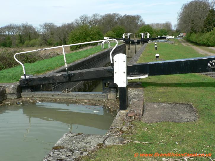
Lock
8.

Rothersthorpe Lock 8

Lock
7

Rothersthorpe Lock 7.
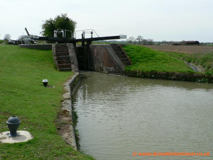
Lock
6

Rothersthorpe Lock 6.

Draw
bridge 5

Lock5
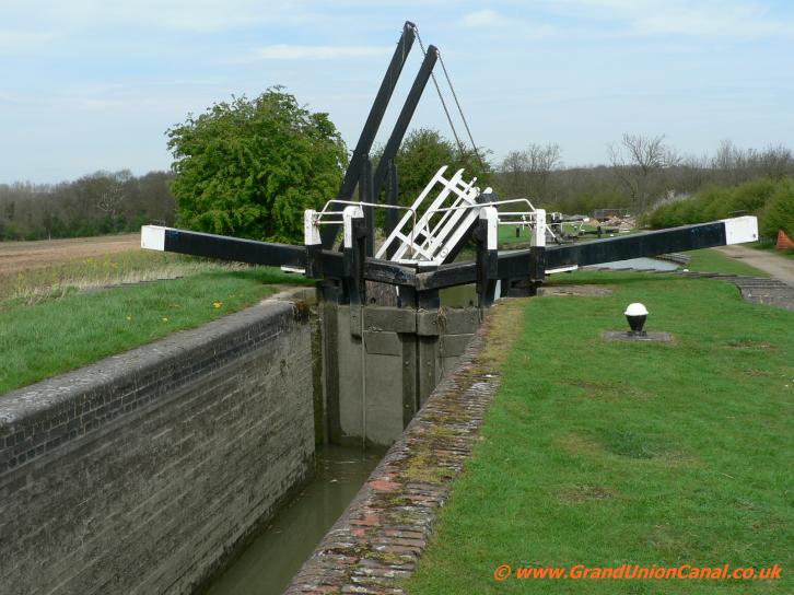
Rothersthorpe Lock 5.

Rothersthorpe Lock4

Lock
4.

Rothersthorpe Lock 3

Lock
3
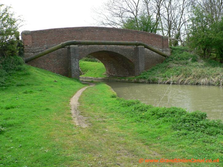
Bridge 4 and PipeBridge
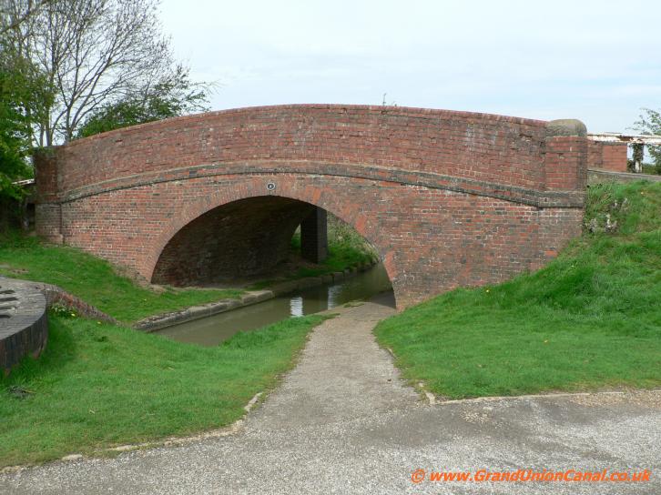
Bridge 4.
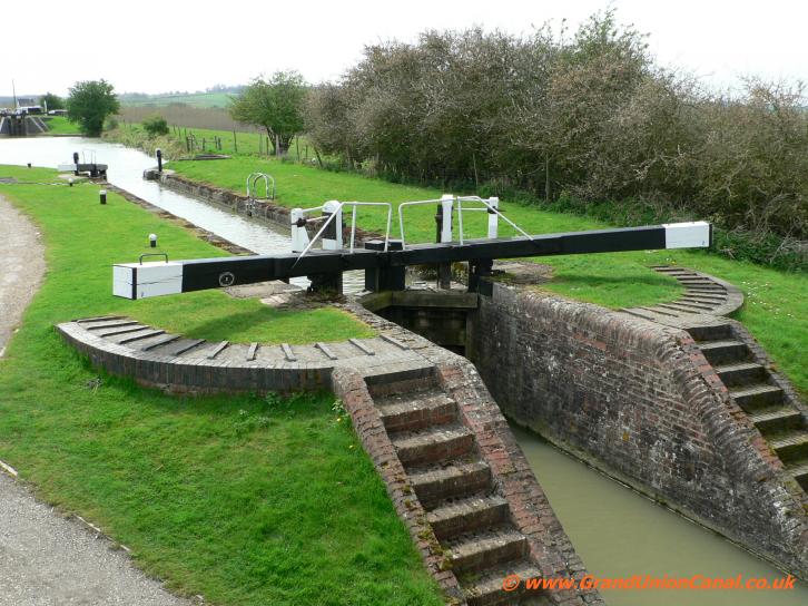
Lock
2
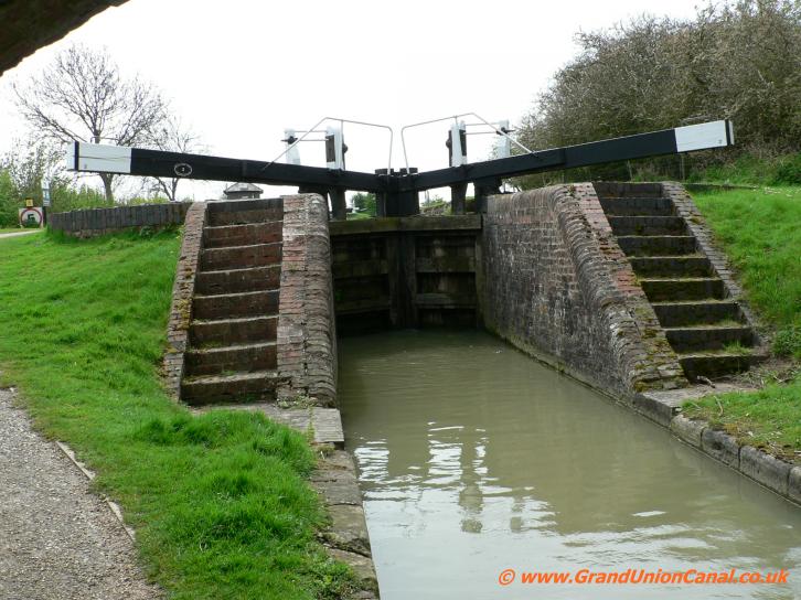
Rothersthorpe Lock 2.

Rothersthorpe Top Lock
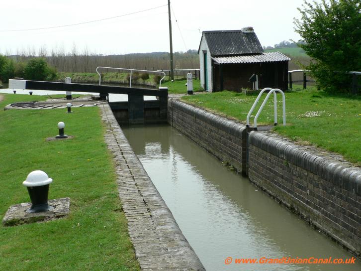
Lock
1.
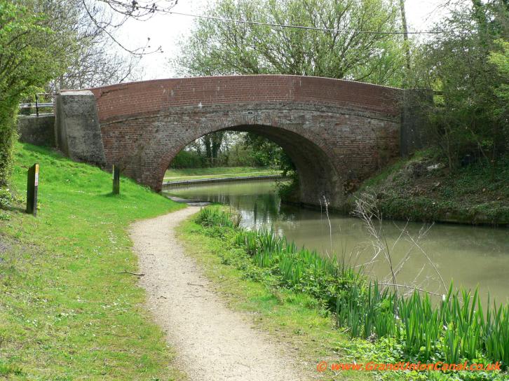
Sand Landing Bridge3
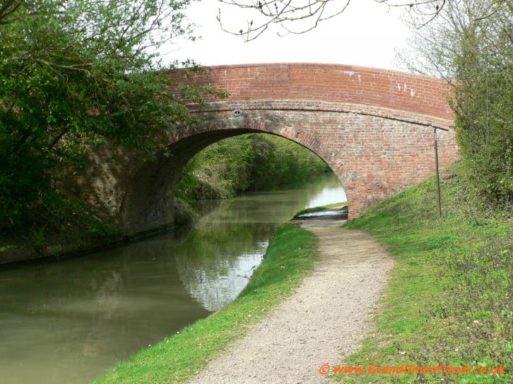
Sand Landing Bridge.

Arm End Bridge 2

Arm End Bridge

Gayton Junction
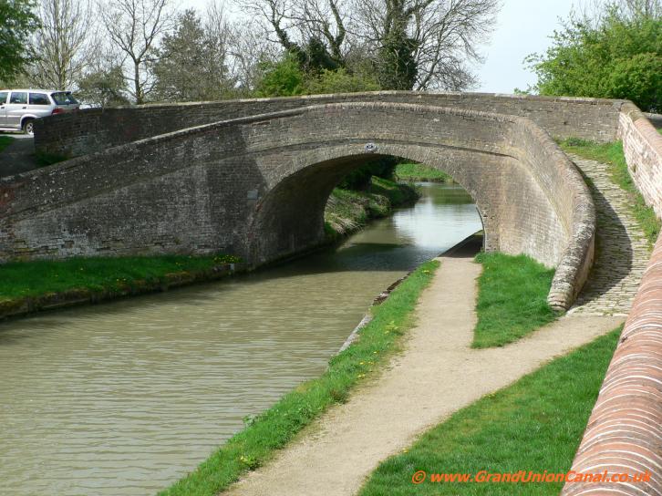
Turnover Bridge
The Photos shown above are of Arm End Bridge (bridge 2) and then Gayton Junction where the Northampton Arm meets up with The Grand Union Canal. Parking is available in Stoke Bruerne in the Canal Museum car-park and you can catch a bus (the bus stop is on the museum side of the bridge) which leaves at 1018hrs (but this time needs checking for updates) to go into Northampton
and then return back by walking the towpath.
To continue on to Stoke Bruerne you have to go left along the Grand Union Canal for several 100 yards to reach Turnover Bridge 47 - this is an interesting old canal bridge as it has a walkway for the horses which used to pull the canal boats. Cross the bridge and go back along the other side of the Grand Union - passing Gayton Junction and continuing on South. The canal passes to the west of Blisworth and then reaches the third longest navigable waterway tunnel in the United Kingdom - the 3057 yards long Blisworth Tunnel (which was originally opened in March 1805).
To continue on to Stoke Bruerne you have to go left along the Grand Union Canal for several 100 yards to reach Turnover Bridge 47 - this is an interesting old canal bridge as it has a walkway for the horses which used to pull the canal boats. Cross the bridge and go back along the other side of the Grand Union - passing Gayton Junction and continuing on South. The canal passes to the west of Blisworth and then reaches the third longest navigable waterway tunnel in the United Kingdom - the 3057 yards long Blisworth Tunnel (which was originally opened in March 1805).
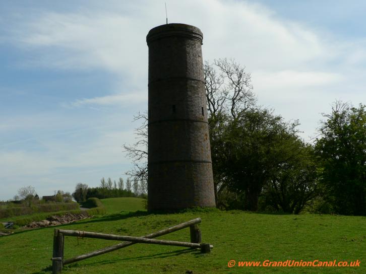
Tunnel airshaft
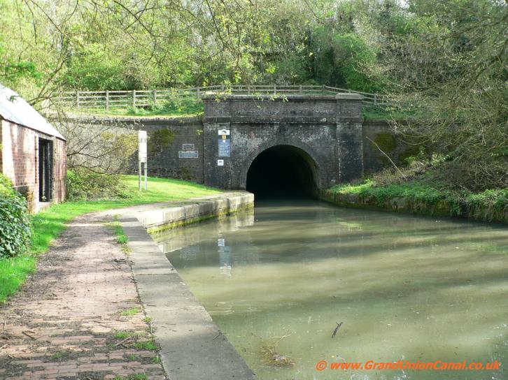
Blisworth Tunnel North
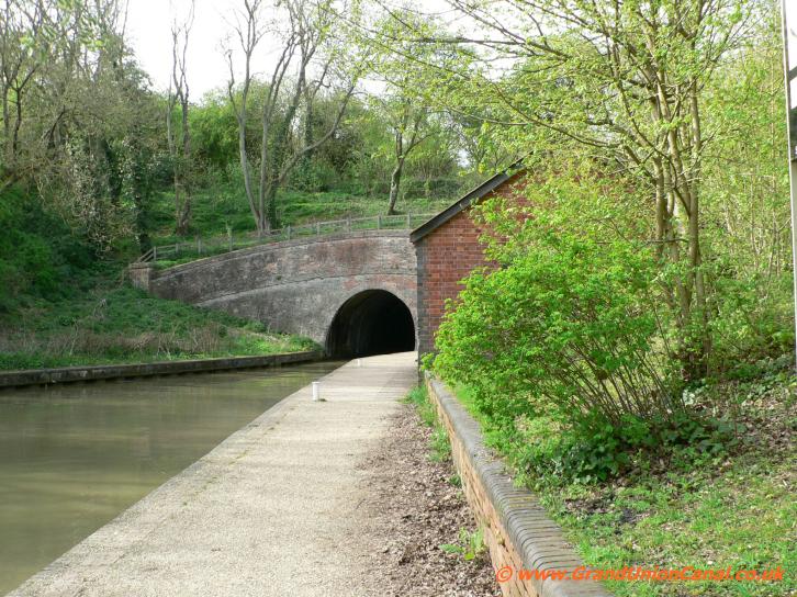
Blisworth Tunnel South
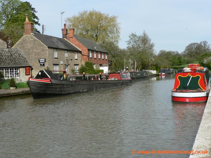
Stoke Bruerne
The modernised tunnel allows two 7 foot wide canal boats to pass - however there is no towpath through the tunnel. To continue walking you have to climb up on a pathway to a small country track, turn left and then almost immediately right onto a road. Follow the road until
it bends half right - a wide signposted path on the left hand side of the road goes ahead from here and takes you gently down to reach the southern end of Blisworth Tunnel and the towpath. From here it is only a relatively short distance back to Stoke Bruerne.
Please take a look at our Grand Union Canal Home Page - covering the entire length of the Grand Union Canal Main Line and also it's Canal Arms and Sections.
Via our Site Resources GUC Resources you can Contact Us. You may also wish to see our website Cookies and Privacy Policy.
Via our Site Resources GUC Resources you can Contact Us. You may also wish to see our website Cookies and Privacy Policy.