The Regents Canal from Islington to Limehouse Basin and The Thames.
Things to see whilst wandering along the Regent's Canal towpath as it goes through London's East End before dropping south to meet the River Thames.
The following is a continuation of our Regent's Canal Paddington to St Pancras topic. The canal passes by some really interesting (and nicely named) places on it's way to Limehouse and also connects with the Hertford Union Canal. The only drawback is having to leave the towpath to get past Islington Tunnel - otherwise there is often lots of activity beside the towpath including at Mile End.[ Click The photos for a much larger photo - use the "back" button to get back to this page. ]
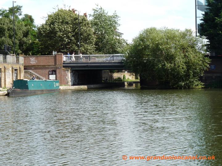
Maiden Lane Bridge

Old warehouse

Battlebridge Basin
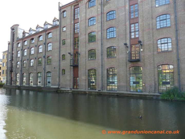
Canal Warehouses
The 976 yard long Islington Tunnel on The Regents Canal.
Islington Tunnel was designed and built by James Morgan between 1815 and 1818 - the tunnel does not have an internal towpath so barges were "legged" through. Walkers and cyclists therefore have to leave the Regents Canal at this point and divert through Angel via several roads. This could really benefit from a map showing the way but sadly all that exists is a sign saying leave the canal and then just a little way up the road at Colebrook Row one more sign - that is it.Directions: Walk up to Colebrooke Row - turn right and shortly left into Duncan Street. At the end of the road turn left now along Upper Street (it's the A1) then right into White Lion Street - this changes into Donegal Street after a while. At the end of Donegal Street turn right into Rodney Street to then reach Wynford Road. Go left and then almost immediately right along Muriel Street - the canal is a short distance along on the left.
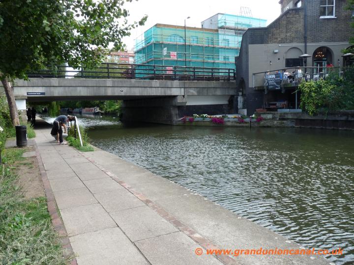
Caledonian Road Bridge
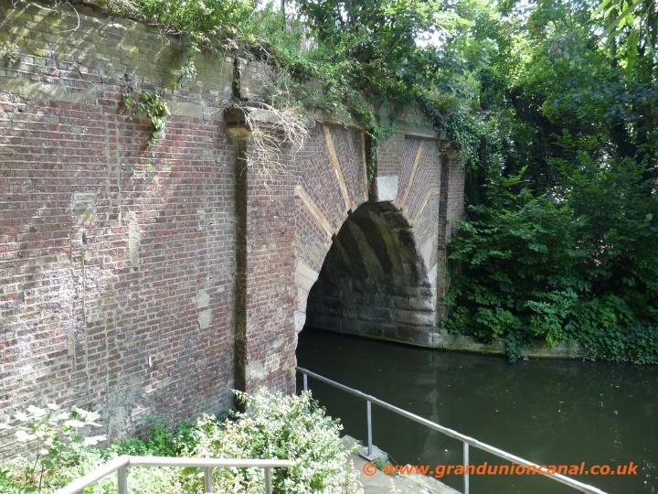
Islington Tunnel west

Islington Tunnel east

Banbury Street Bridge
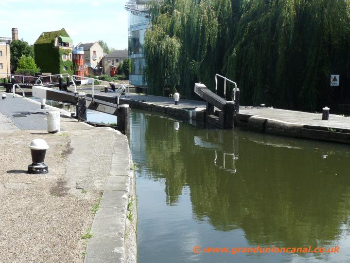
City Road Lock 5
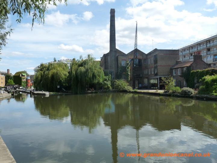
City Road Lock + chimney

Wharf Road Bridge

Wenlock Basin

Pipebridge + bridge40

Bridge 40

Sturts Lock 6
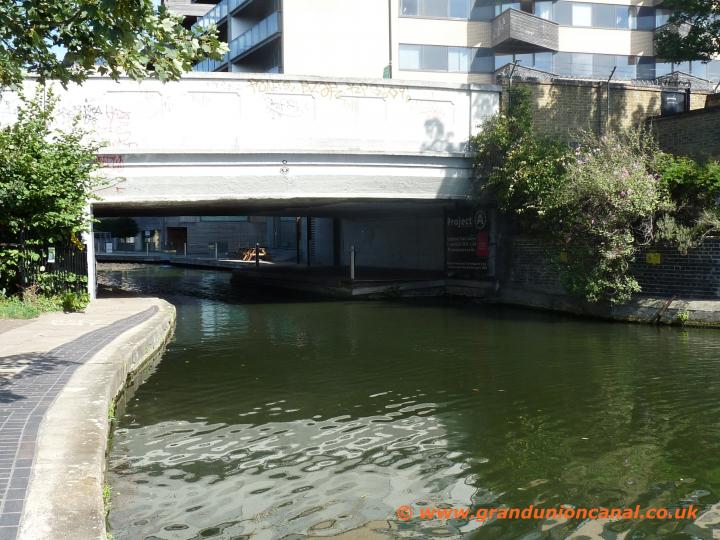
New North Roadbridge
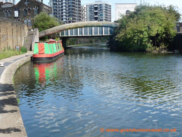
Southgate Roadbridge

Witmore Road Bridge

Entrance Kingsland Basin
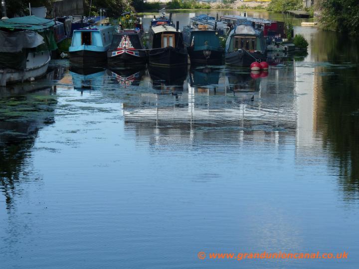
Kingsland Basin

Kingsland Roadbridge

Regents Canal
Bridge 46

Haggerston Bridge
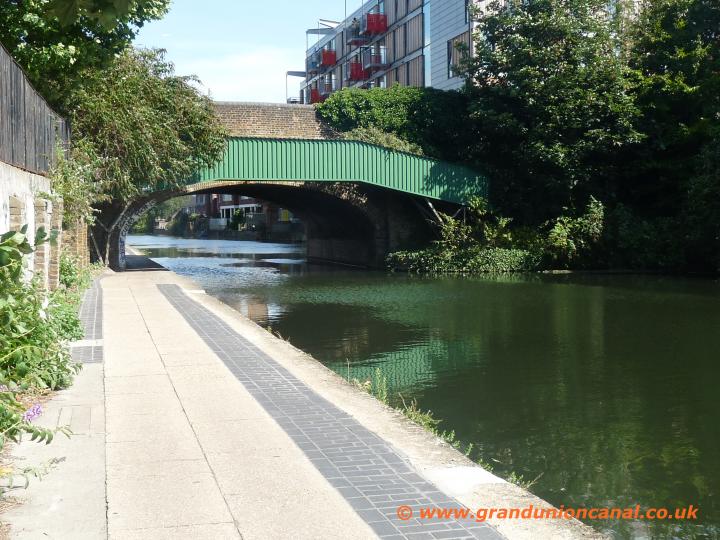
Queensbridge bridge

Actons Lock 7
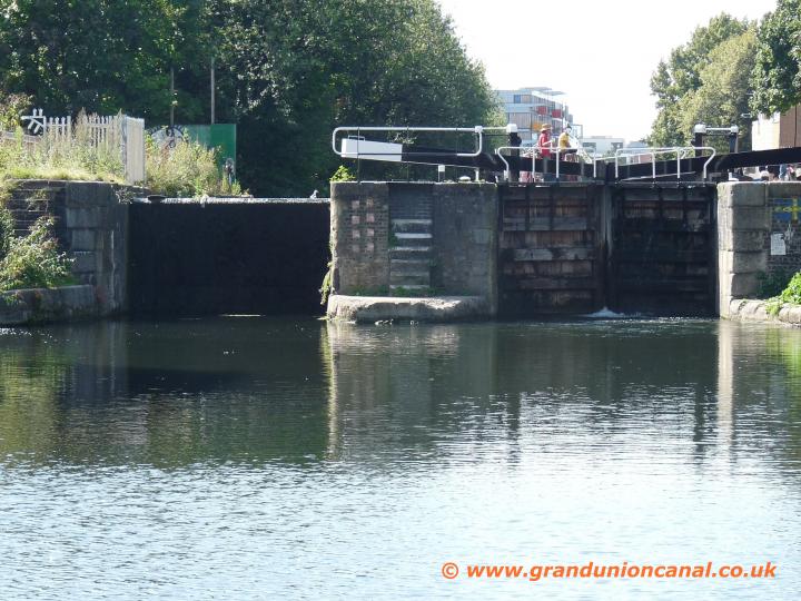
Lockgates Actons Lock
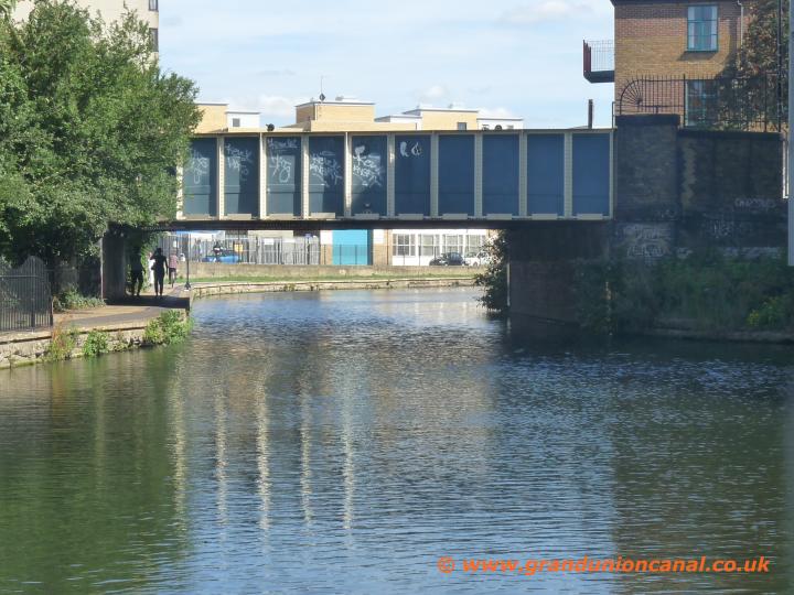
Pritchards Road Bridge

Canal views

Railway bridge 50

Mare Street Bridge

Bonner Hall Bridge

Bonner Hall Bridge
Particularly between the 1830s right up to the end of the First World War, The Regent's Canal carried quite a volume of tonnage - with canal barges moving a variety of cargo including bricks, coal, glass as well as grain, chemicals and beer. Famous old English canal freight carrying companies such as Pickfords and Fellowes Morton and Clayton Ltd used the Regent's Canal quite heavily.

Old Ford Lock 8

Old Ford Lockgates
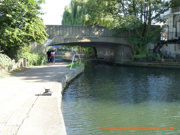
Old Ford Roadbridge
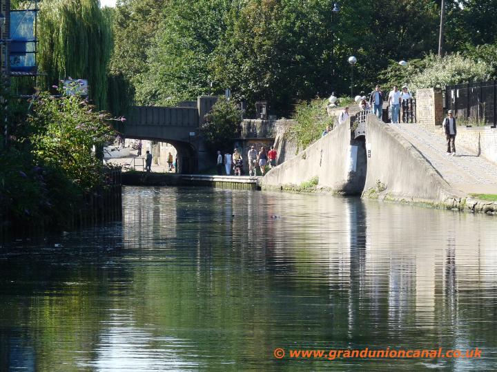
Hertford Union Canal Jc
The Hertford Union Canal or Duckett's Canal in London.
At only 1.5km long the Hertford Union Canal - which is also known as Duckett's Canal - was opened in 1830 and was designed to provide another commercial link between the River Thames (via the Regent's Canal) and the River Lee Navigation. Please see our River Lee Navigation topic for photos taken along the Hertford Union Canal.Gun Maker's Bridge (photo below) is named after the nearby Gunmakers Arms and Gunmakers Wharf - the London Small Arms Factory was situated by the Wharf and produced components for several famous military rifles including the Short Magazine Lee-Enfield which was used during the 1914-1918 war. The factory used the Regents Canal to transport the components to Enfield.

Hertford Union leaves Regents Canal

Entrance bridge 54a

Roman Road Bridge 55

Railway Bridge56

Mile End Lock 9
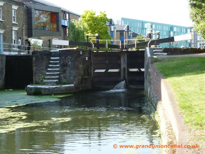
Mile End Lockgates

Mile End Roadbridge

Gunmakers Arms Bridge

Gunmakers Arms Bridge

Jonsons Lock 10

Lockgates Jonsons Lock
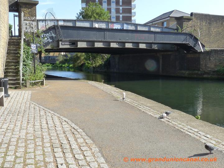
Ben Jonson Roadbridge

Railway Bridge60

Salmon Lane Lock11

Road bridge 61

Bridge 61

Bridge 62

Commercial Roadbridge
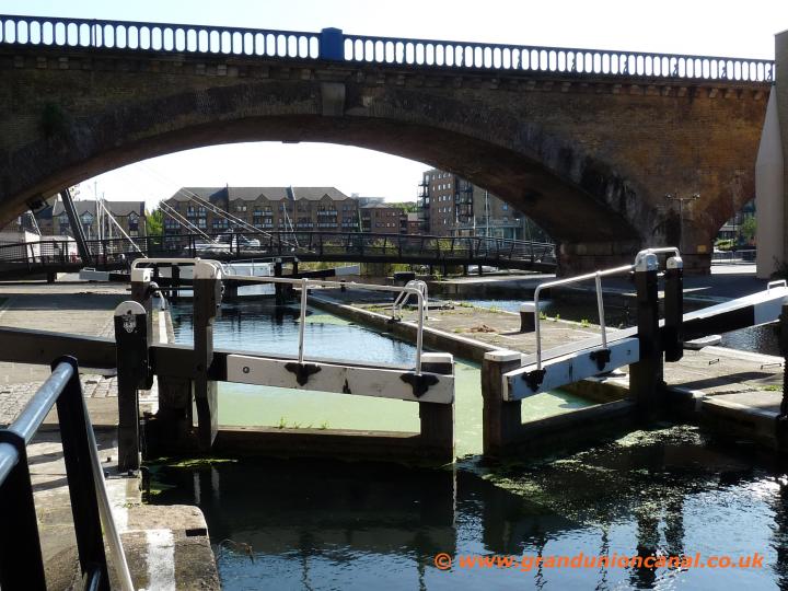
Commercial Road Lock

Lock 12, pipes, Bridge 64

Docklands Railway bridge
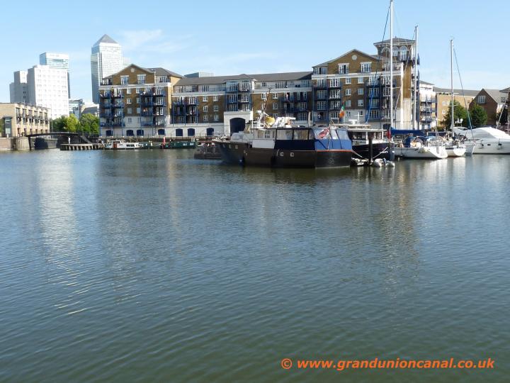
Limehouse Basin
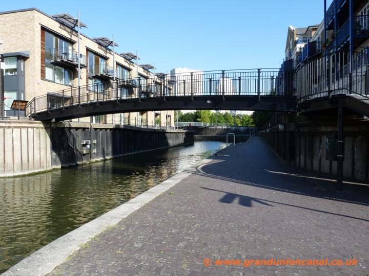
Limehouse Cut
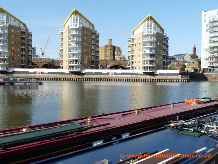
Limehouse Basin

Thames at Limehouse Basin
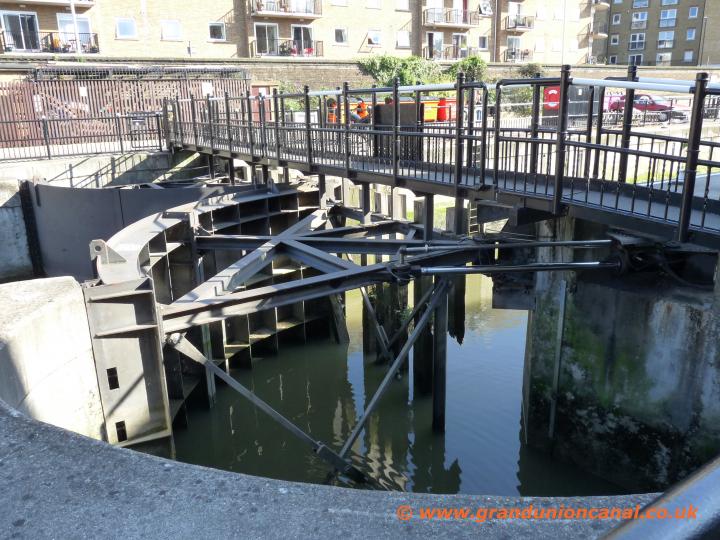
Limehouse swing footbridge
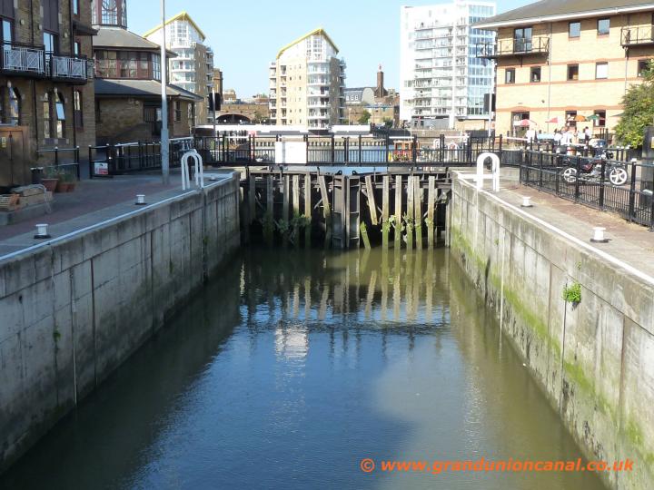
Limehouse Lock

Entrance to Limehouse

Limehouse Marina Bridge

The River Thames

The Thames, London

Accumulator Tower
About Limehouse Basin which is situated close to the River Thames in the East End of London.
This is a really nicely laid out area - even the blocks of (probably very expensive) flats and so on have been designed to appear "ship-like" and fit in well - also some of the original old brick buildings have been preserved. Limehouse Cut leaves from the Basin and provides a link up to the River Lee Navigation and also the River Stort Navigation for boat owners (as well as for cyclists and towpath walkers).The River Thames is just a few hundred yards from Limehouse Basin - there is an excellent swing bridge on the way and once you reach the Thames the river and views are impressive - just here there are also several Thames side public houses. The nicely preserved brick chimney and tower shown in the final photo above is of an accumulator tower which was used to regulate pressure in the hydraulic systems that powered the lock gates, capstans, cranes and swing bridges within the dock area. The accumulator tower thankfully has survived the bull-dozers - it was used from around 1869 through to the 1920s.
The first part of the Regent's Canal is covered by our Regents Canal Paddington to St Pancras topic.
Please take a look at our Grand Union Canal Home Page - covering the entire length of the Grand Union Canal Main Line and also it's Canal Arms and Sections.
Please take a look at our Grand Union Canal Home Page - covering the entire length of the Grand Union Canal Main Line and also it's Canal Arms and Sections.
Contact us via Site Resources. You may also be interest in reading our Privacy and Cookie Policy.