The River Stort Navigation - walking the towpath from Bishops Stortford to the River Lee.
The River Stort offers boats as well as cyclist and walkers a link from Bishops Stortford in England to the Lee Navigation thus access to both the River Thames and 100s of miles of English Canals.
Many years before the eventually extensive canal systems (The Grand Junction Canal and The Oxford Canal amongst others) were constructed and used for transporting goods etc. around England several rivers in southern England were quite heavily utilised commercially - one of which was the River Stort. The River Stort starts it's life in Clavering, Essex and initially is a quite narrow shallow, twisting little river down as far as the centre of Bishops Stortford in Hertfordshire.From there the remaining 22 kilometres have been made navigable with an accompanying towpath so that the river provides narrowboat access to The River Lee Navigation at Feildes Weir near Hoddesdon.
[ Clicking the thumbnails will open a much larger picture - use the back button to return to this page. ]
Narrowboats and barges therefore have access to the English Canal systems via the Lee Navigation and then via The Regents Canal onto the Paddington Canal Arm of the Grand Union and the
Grand Union Canal at Brentford itself at Bulls Bridge. Using the Lee Navigation there is also access to the River Thames at Limehouse in London's East End. The Stort Navigation's fifteen Locks are numbered sequentially from 15 to 1 whilst the Navigation's Bridges are numbered the other way round i.e. 1 to 53.
The locks appear wide and able to take two narrowboats at a time but are in fact only 13 feet wide so cannot do so.
The following Photos show the bridges, locks as well as several of the old mills plus other features which can be seen along the Stort Navigation as it travels from Feildes Weir (Lee Navigation Junction) up to the end of narrowboat navigation at Bishops Stortford.
The following Photos show the bridges, locks as well as several of the old mills plus other features which can be seen along the Stort Navigation as it travels from Feildes Weir (Lee Navigation Junction) up to the end of narrowboat navigation at Bishops Stortford.
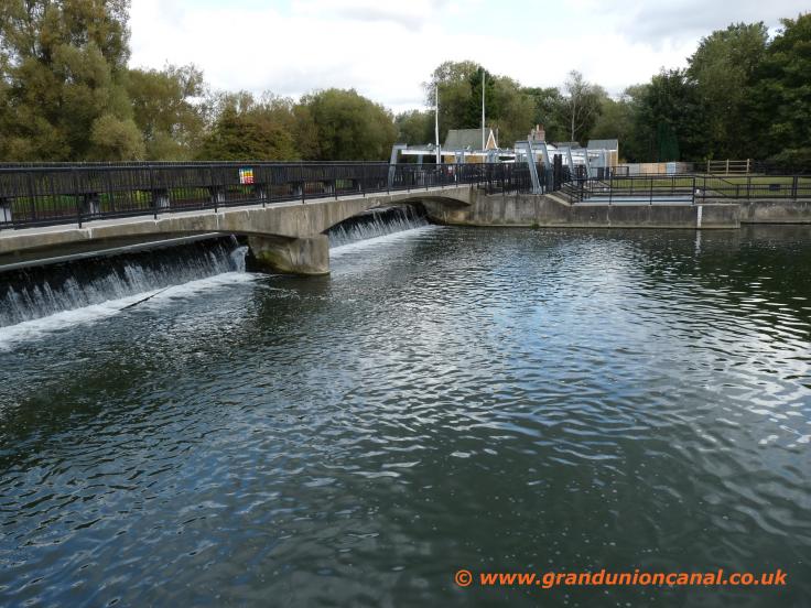
Feilde Weir

Lee/Stort Jcn

Footbridge 1

Lower Lock15

Footbridge 2

Brick Lock

Brick Lock 14

Brick Lock Gates

Bridge 5
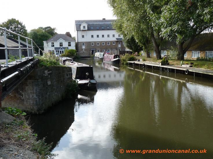
Roydon Mill Arm
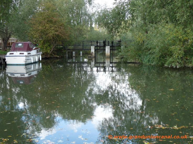
sluice

Bridge 6
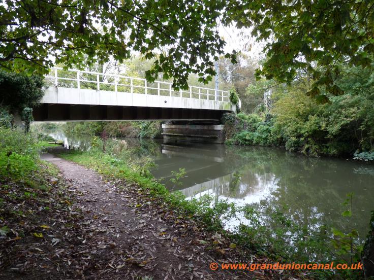
Railway bridge 7
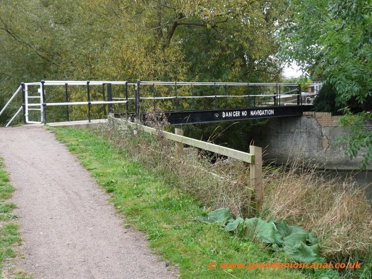
side bridge 7a

Bridge no8

Roydon Lock 13
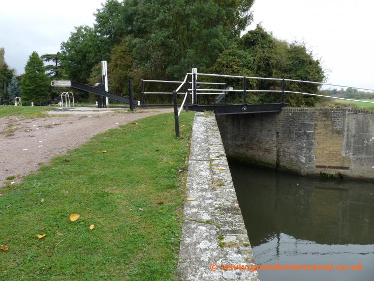
Bridge 10

Hudson Mill Lock

Hudson Mill sidearm
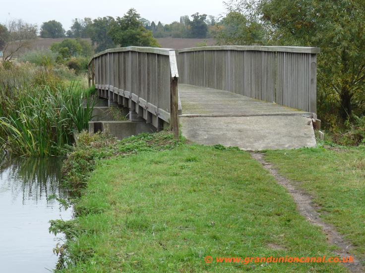
Sidebridge (wooden)
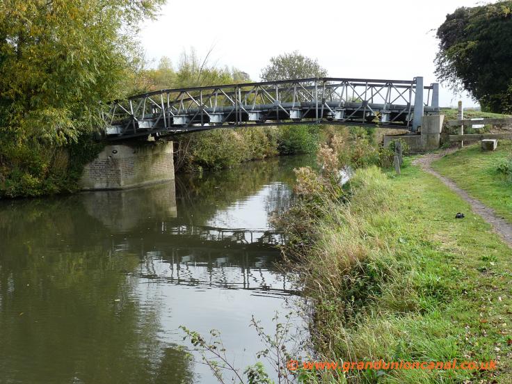
Bridge 11
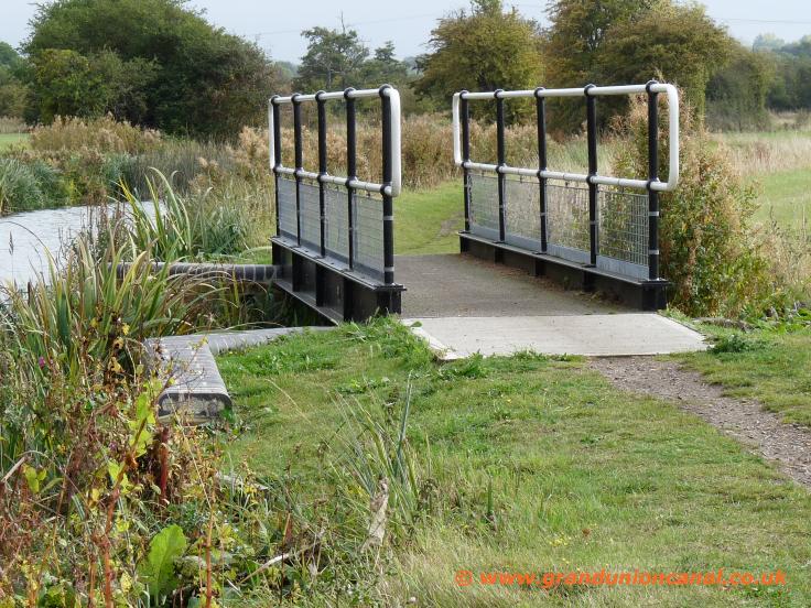
sidebridge (metal)

metal sidebridge

Bridge 14

Parndon Lock 11
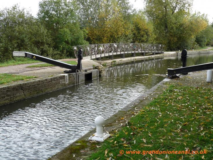
Parndon Lock
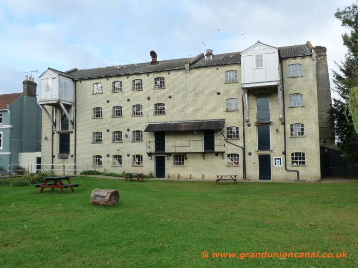
Parndon Mill
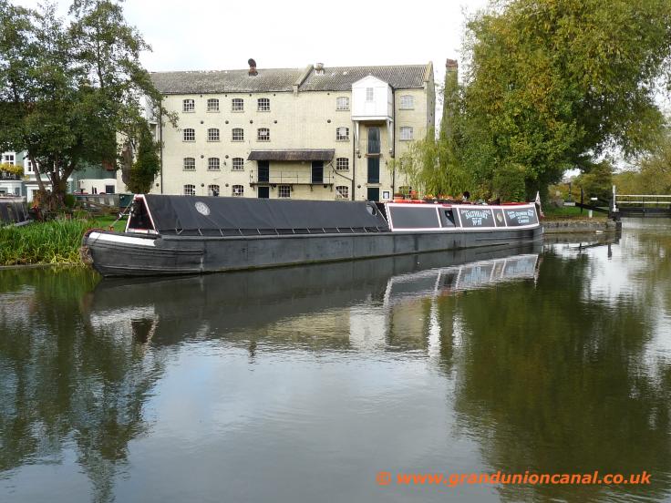
Parndon Mill
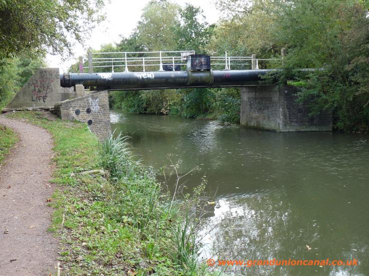
Pipe + Bridge 15
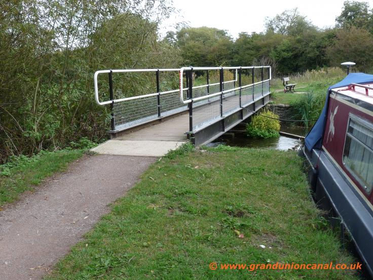
Footbridge 15a
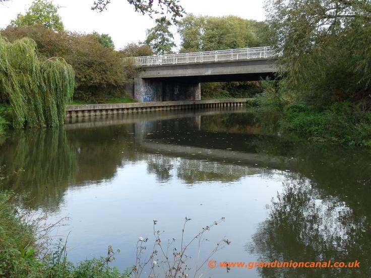
Roadbridge 16

Bridge 17
The Stort Navigation was opened for commercial use towards the end of 1769 with barges carrying various products such as rye, wheat, malt dust, barley, oats,
coal, lime and particularly malt from the important malting industry in Bishops Stortford. The towpath is fully open for use by both cyclists and walkers and in
generally good condition. Much of the route is through peacefull open countryside and very scenic especially in Spring and Autumn. For cyclists who want to cycle the whole length of the
navigation there is a frequent railway service between Bishops Stortford and Broxborough so it's possible to use the Lea Navigation and then The Stort
for a one way ride. This is probably too far to walk but you can park in Roydon's Council car park (which on our last visit was free unlike the railway station car park) and then wander down to the station and take a train to Bishops Stortford and walk back along The Stort to Roydon (around 13 miles).

Burnt Mill Lock

Bridge 17a
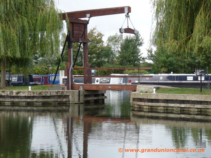
Marina Bridge

Bridge 18
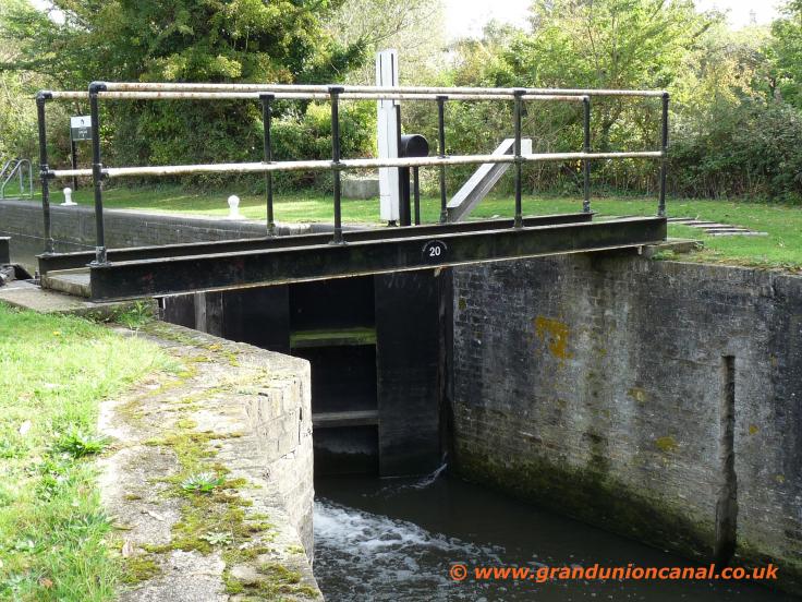
Bridge 20

Latton Lock 9
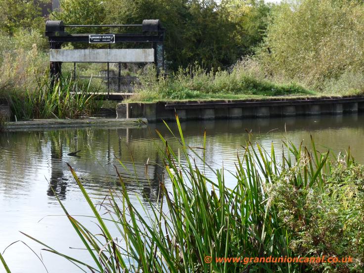
Stort Sluice
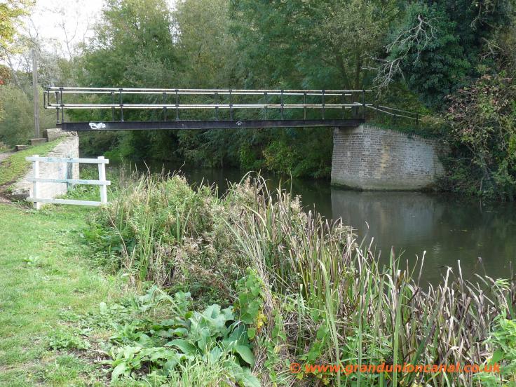
Footbridge 21
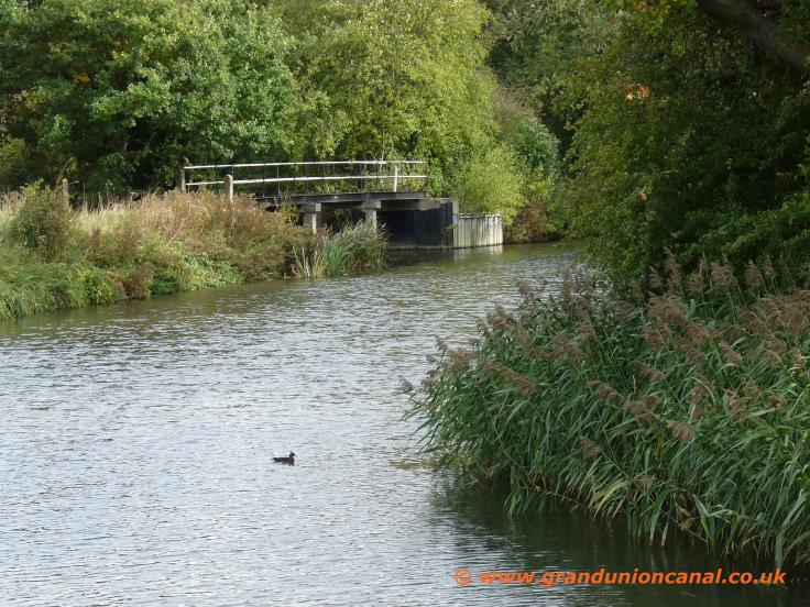
Footbridge 22
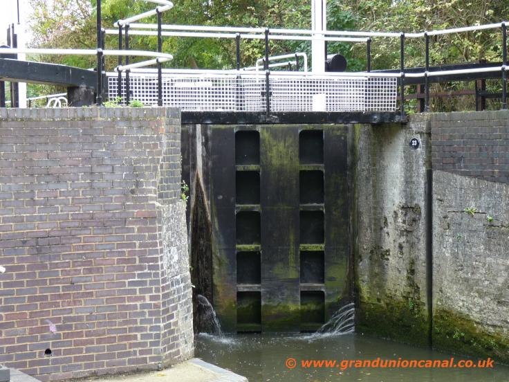
Bridge 23

Harlow Lock 8

Roadbridge 24
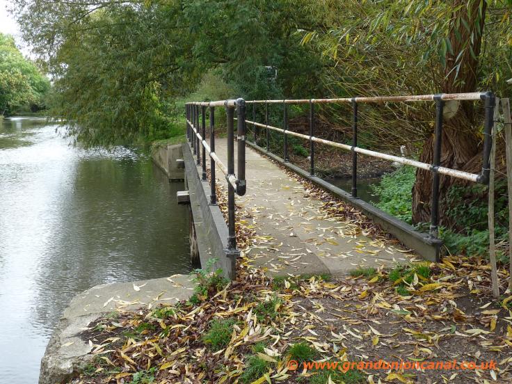
Roadbridge 25

Bridge 27

Feakes Lock 7 gates
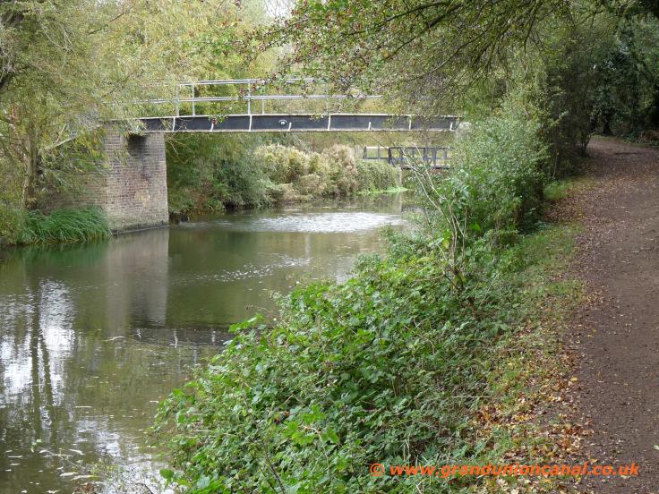
Footbridge 28

Side Bridges 29+30

Footbridge 30

Bridge 31
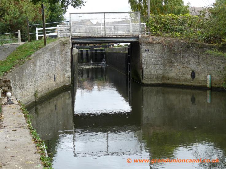
Sheering Mill Bridge
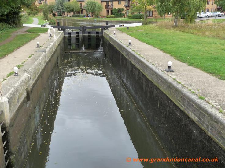
Sheering Mill Lock

Old mill buildings

Bridge 35

Bridge 36

Sawbridgeworth Lock

Foot
bridge37

Railway bridge37

Bridge 41
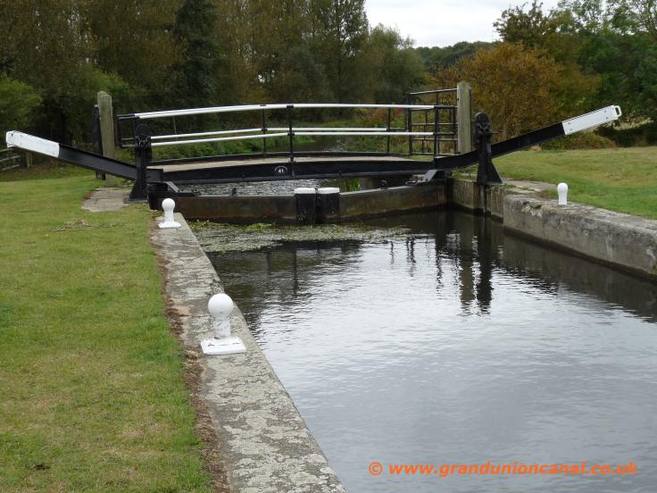
Tednambury Lock 4
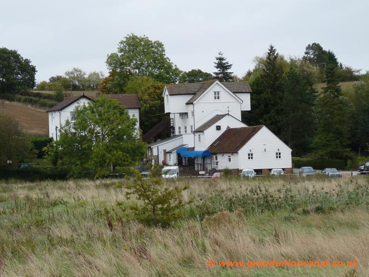
Mill
Tednambury

Tednambury Bridge

Tednambury Sidearm

Bridge no:43

Spellbrook Lock 3
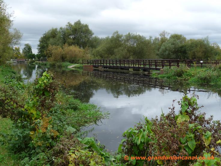
Spellbrook weirs

Bridge 44
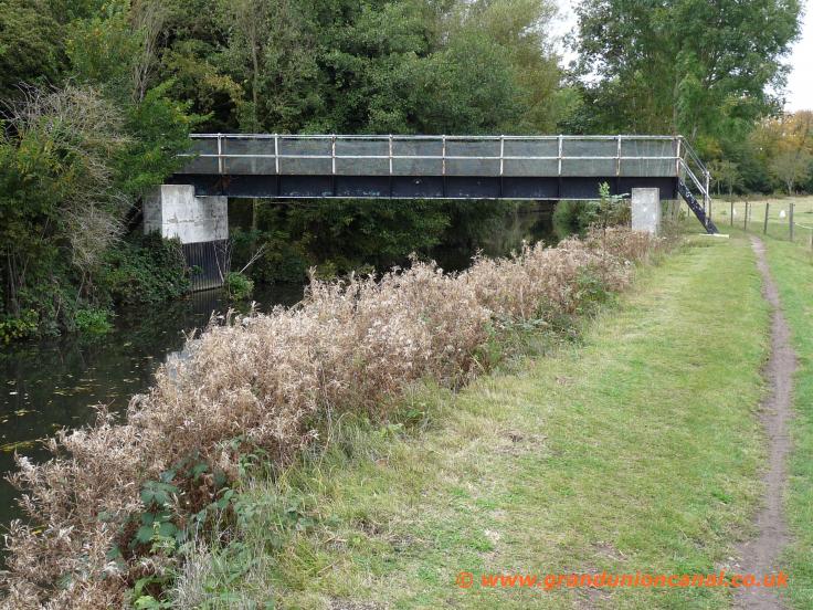
Footbridge 47

Bridge 48

Twyford Lock 2

Twyford Lock

Bridge 48b crosses The Stort

South Mill Lock area

South Mill Lock 1

South Mill Lock 1
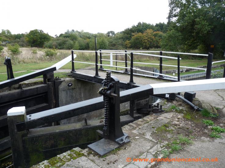
Bridge 49
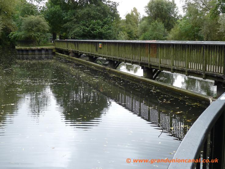
Weirs, Southmill Lock
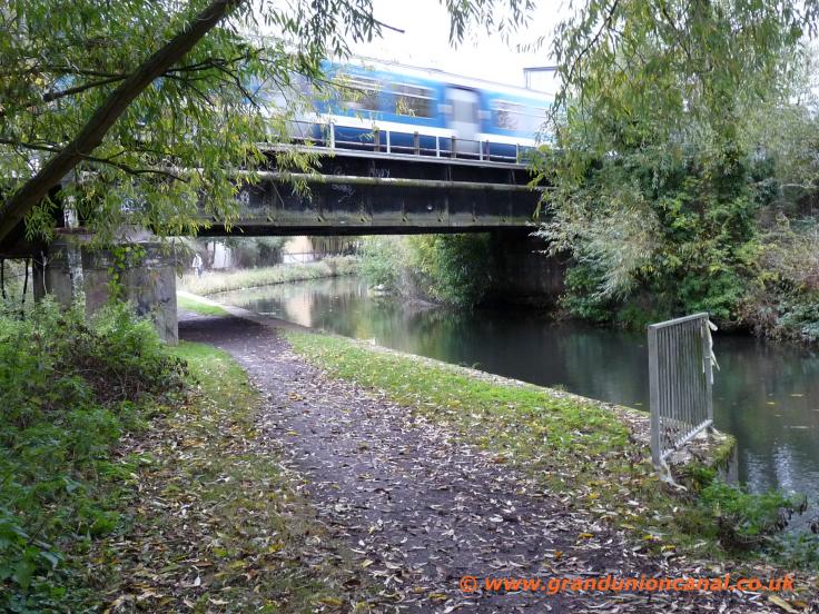
Railway-bridge 49

Bridge 50
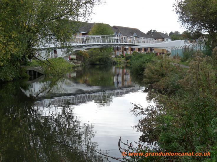
Footbridge
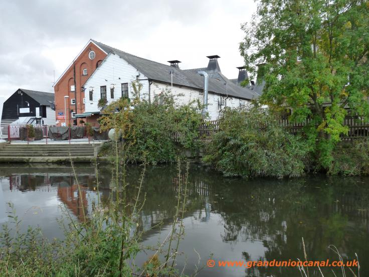
Riverside buildings

Pipebridge

Station Road bridge

Causeway Bridge 53

Now The Stort

Bishops Stortford
Once the waterway reaches Causeway Bridge in the centre of Bishops Stortford, the Stort Navigation returns to simply being The River Stort - a nice tree-lined
and narrow river with parkland and play areas either side of it - this is where the river starts heading off back to it's source in Essex. On one side of the river there are the
remains of the 11th Century Bishops Stortford Castle - however the castle is little more than a large mound and you cannot always get onto this and take a look at it as sometimes the entrance gate at the top of the steps is locked.
If our old English river navigations are of particular interest you may like to look at our several topics about the Kennet and Avon Canal - most of which is also "river" rather than actual cut canal as it is "The
River Kennet" out of Reading, some miles of canal in the middle and then ends up as the "River Avon" at it's Bristol end.
Please take a look at our Grand Union Canal Home Page - covering the entire length of the Grand Union Canal Main Line and also it's Canal Arms and Sections.
Via our Site Resources topic there is a menu showing our other websites.
Contact us via the above mentioned "resources" page. You may also be interested in reading our Privacy and Cookie Policy.